Geography: Rivers
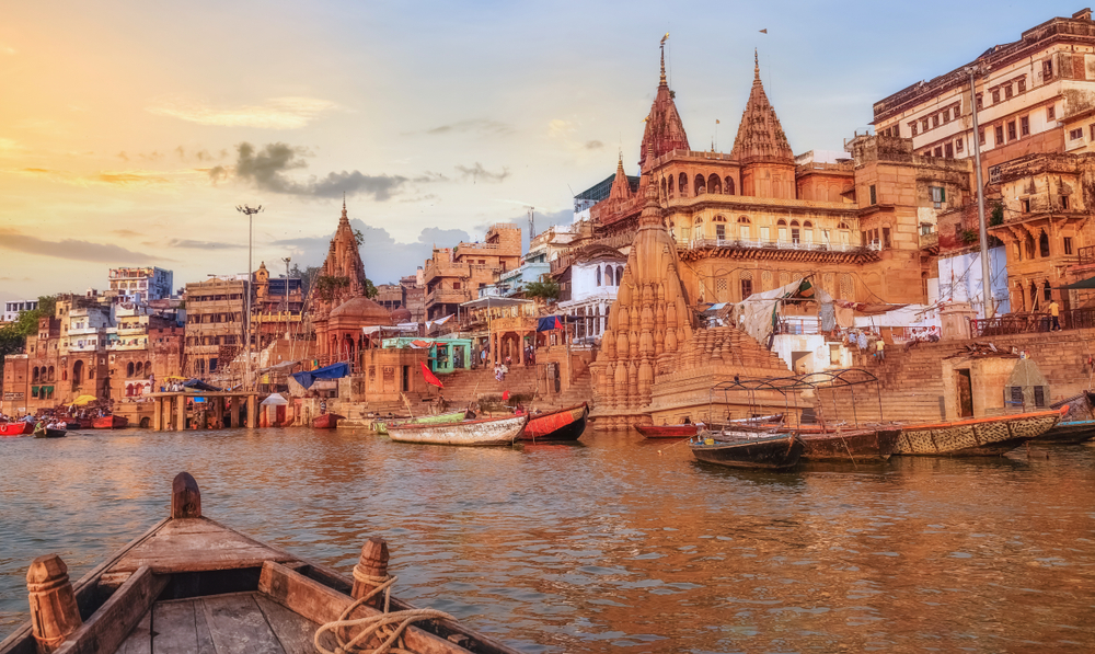
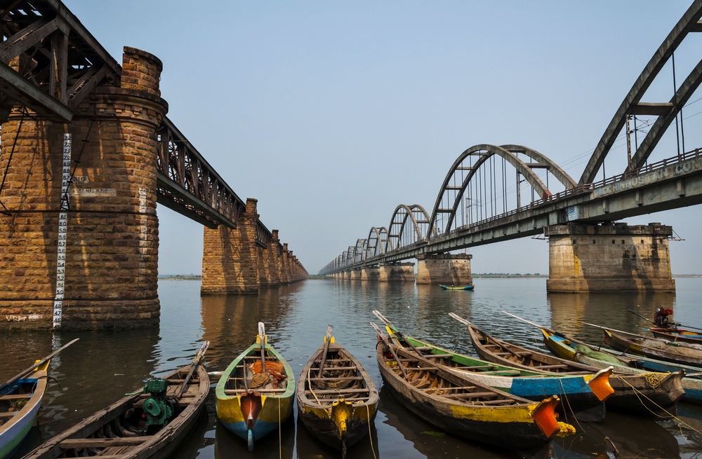
India's many rivers are integral to its landscape and the lifeblood of its people. These rivers, including the Ganges, Brahmaputra, and Yamuna, are not just physical entities but hold deep cultural, religious, and historical significance. They sustain the country's agricultural sector, which is a cornerstone of the Indian economy, providing water for irrigation to support the cultivation of numerous crops. Additionally, these rivers are crucial for drinking water, sanitation, and transportation, especially in rural and remote areas. They also support diverse ecosystems, providing habitats for a wide range of flora and fauna. The rivers of India are central to many religious practices and festivals, reflecting their importance in the spiritual and cultural fabric of the country. The table below offers an overview of the major rivers in India, detailing their lengths, sources, and outflows.
|
River Name |
Length* |
Source |
Outflow |
|
Ganges |
2,525 km(1,569 mi) |
Gangotri Glacier |
Bay of Bengal |
|
Godavari |
1,465 km (910 mi) |
Trimbak, Maharashtra |
Bay of Bengal |
|
Krishna |
1,400 km (870 mi) |
Mahabaleshwar, Maharashtra |
Bay of Bengal |
|
Yamuna |
1,376 km (855 mi) |
Yamunotri Glacier |
Ganges River |
|
Narmada |
1,312 km (815 mi) |
Amarkantak, Madhya Pradesh |
Arabian Sea |
|
Mahanadi |
858 km (533 mi) |
Sihawa, Chhattisgarh |
Bay of Bengal |
|
Kaveri |
800 km (497 mi) |
Talakaveri, Karnataka |
Bay of Bengal |
|
Tapti |
724 km (450 mi) |
Multai, Madhya Pradesh |
Gulf of Khambhat |
|
Brahmaputra |
720 km (447 mi) |
Chemayungdung Glacier, Tibet |
Bay of Bengal |
|
Mahananda |
315 km (196 mi) |
Darjeeling, West Bengal |
Ganges River |
*Sources do not differentiate between the length of river that exists within the country’s borders and the overall length of the river irrespective of national borders.
Copyright © 1993—2025 World Trade Press. All rights reserved.

 India
India 
